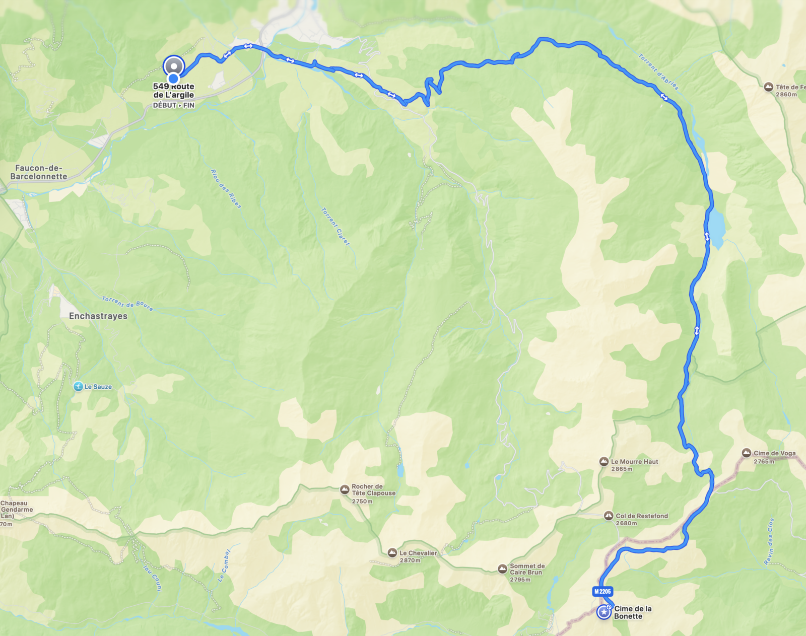

Key Stats
- Altitude
- 2,715 m (8,907 ft)
- Category
- Hors Catégorie (HC)
- North side
- ~24 km from Jausiers, average 6.9%
- South side
- 19.8 km from Saint-Etienne-de-Tinee, 1,569 m D+
- Max gradient
- ~10% on the upper ramps
- Open season
- June – October, conditions permitting
- Surface
- Tarmac — fully paved
- Access
- Free — no permit required
Use these numbers as your starting point, then check live road status before committing to the high road. For broader route planning, start with our full cycling guide for the Ubaye Valley.
North Climb
From Jausiers, the northern ascent is the classic test: long, sustained, and increasingly exposed as the road rises above the valley. The first kilometres let you settle into rhythm before the upper hairpins and altitude make every acceleration expensive.
View the Bonette segment on Strava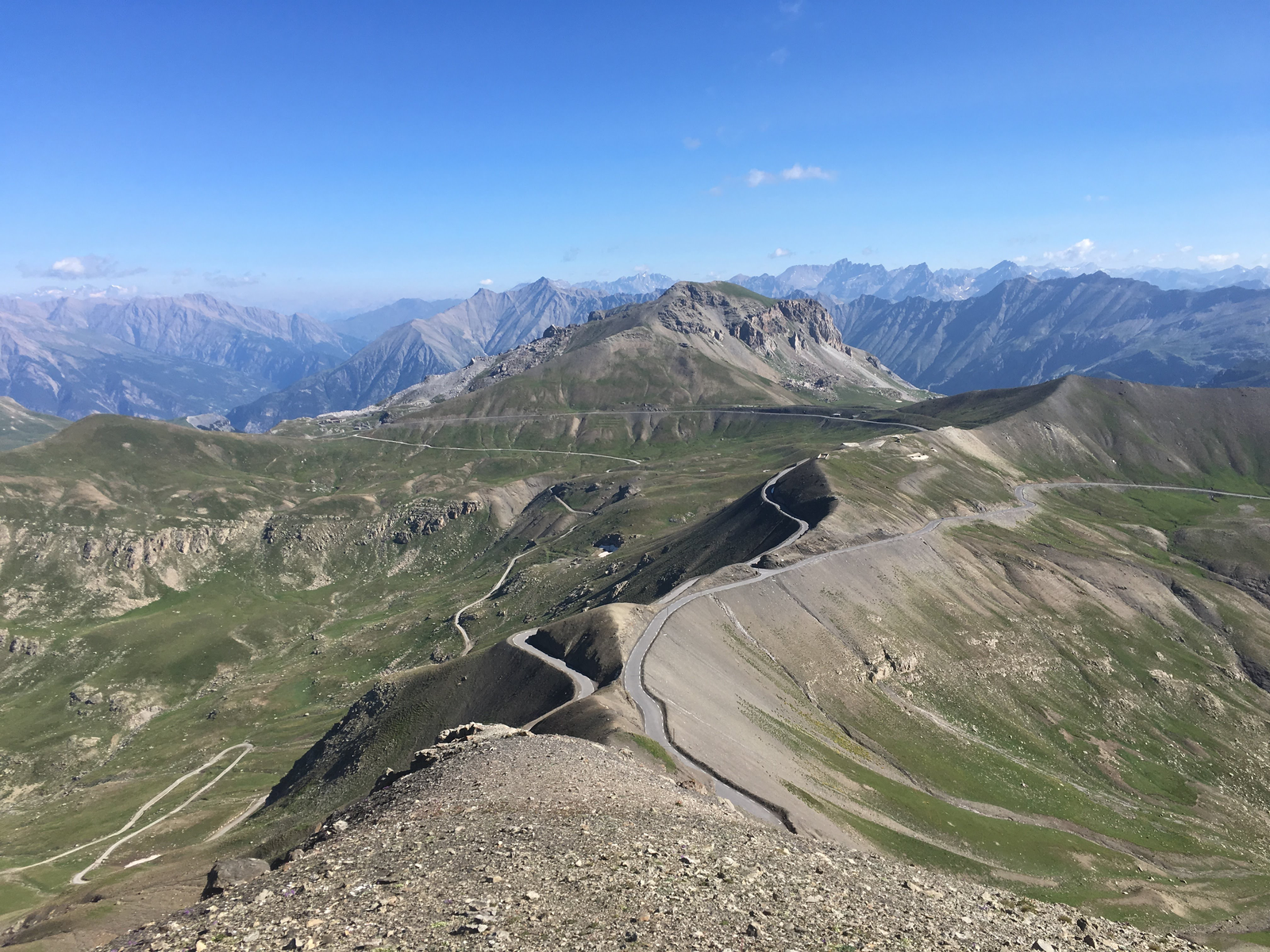
South Climb
From Saint-Etienne-de-Tinee, the south side climbs for 19.8 km and gains 1,569 m before the road tightens near Restefond. It is shorter than the north side, but the sustained gradient, altitude, and exposure still make it a full mountain objective.
Difficulty & Road Profile
Col de la Bonette is a Hors Catégorie climb because it combines distance, altitude, and a summit environment where wind and temperature can change quickly. It is less brutally concentrated than Mont Ventoux, but the time spent above 2,000 m makes it feel more like a high Alpine day on the Col du Galibier.
Pace the lower slopes conservatively, eat before you feel empty, and keep a jacket for the descent. The gradient is rarely savage, but the altitude punishes riders who treat the first hour like a threshold effort.
Weather & Best Season
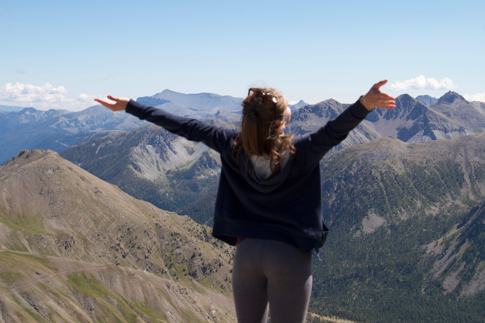
The road is a true high-mountain pass. Even in summer, the summit can be windy and cold while Barcelonnette is warm. Treat September as the sweet spot for quieter roads, clear air, and stable riding windows.
| Month | Road status | Conditions | Recommendation |
|---|---|---|---|
| June | Opening period | Snow walls possible, cold mornings | Check pass status and carry layers |
| July | Usually open | Stable, bright, high UV | Best all-round month for first attempts |
| August | Usually open | Warm valleys, exposed summit winds | Start early before traffic and storms |
| September | Usually open | Cool, quiet, often clear | Prime month for experienced riders |
| October | Variable | Short days, frost risk, early snow possible | Ride only with a reliable forecast |
| Winter | Closed | Snowbound high road | Use valley rides and lower climbs |
Your Base Camp in Barcelonnette
Les Gîtes de l'Argile gives you two practical stays for a Bonette week: L'Intermède and La Capitale. Both work well for cyclists who want a quiet base close to Barcelonnette, Jausiers, and the major Ubaye climbs.
- Secure bike storage for road bikes and kit
- Powerful showers after long mountain days
- Fully equipped kitchen for early breakfasts and recovery meals
- Fast WiFi for route checks, weather, and remote work
For a non-cycling companion, Barcelonnette offers cafes, walks, markets, and calm mountain days while you ride the high cols.
Planning a second mountain day from the same base? Pair Bonette with Col de la Cayolle for a wilder Mercantour ride.
Book your stayGetting There
Barcelonnette is the natural base for the climb. From Les Gîtes de l'Argile, ride toward Jausiers for the northern ascent or link the southern approach into a larger Ubaye loop. For more local routes and accommodation context, see Cycling in the Ubaye Valley.